The following table provides sample data collected by ioSeal sensor during a cargo transportation journey. By using ioSeal, you will get one set of data every time you lock your electronic seal. It contains the following sections:
- Journey summary
- Tracker ID,
- Track start date in GMT timezone.
- First & Last known locations
- Dynamic track
- Customer can zoom to any location,
- GSM indicative tracks can be hidden,
- Map can be watched in full-screen.
- Alerts history
- One set of data per alert,
- Type of geolocation source and precision is specified,
- Alert Message is displayed.
- Download
- One PDF summary letter to give to your business partners containing links and QR Code to guide you back to your dynamic map on our website,
- GPX file to view the journey on your favorite GPS data logger software,
- CSV, XML, GEOJson raw data for your own data analysis.
- Static track
Tracker
IMEI: 866039042070178 |
Track Date: 20191019082020
Sat, 19 Oct 2019 08:30:13 +0000 |
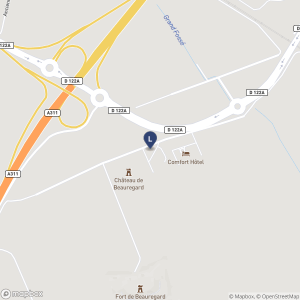
First Known Position
Date: Sat, 19 Oct 2019 08:39:38 +0000
Latitude: 48.829358, Longitude: 2.223453
Type: GNSS, Precision: 10 m
 |
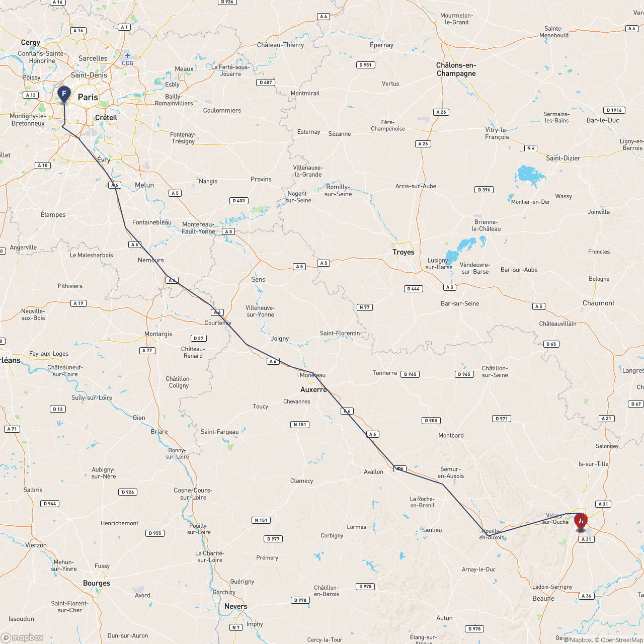
Last Known Position
Date: Sat, 19 Oct 2019 12:30:17 +0000
Latitude: 47.271898, Longitude: 5.043678
Type: GNSS, Precision: 10 m
 |
Dynamic Track Map
Reset Zoom Hide GSM Show GSM
|
| Alert History: |
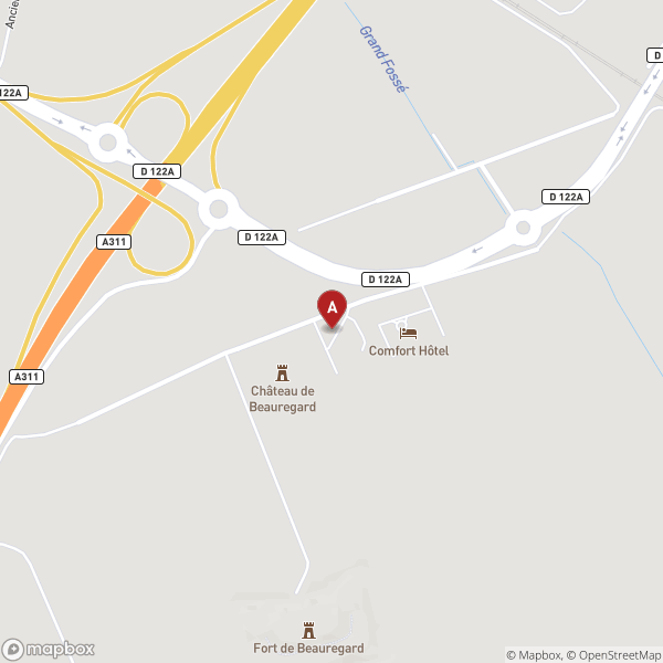
Alert 1
Date: Sat, 19 Oct 2019 12:23:54 +0000
Latitude: 47.271826, Longitude: 5.043712
Type: GNSS, Precision: 10 m
Sensor: Opened Cable!
 |
Alert 2
Date: Sat, 19 Oct 2019 12:24:49 +0000
Latitude: 47.271845, Longitude: 5.043719
Type: GNSS, Precision: 10 m
Sensor: Opened Cable!, Modified Cable!
 |
Download
Portable Document Format: PDF
GPS Exchange Format: GPX
Raw Data: CSV, XML, GeoJSON |
View online
 |
Statistics
Number of Records: 30
Track Duration: 13839s / 3.84h |
|
Static Track Map
 |